
 9 hours ago
10
9 hours ago
10
The federal government has finalized a new plan for managing the shrinking Colorado River, ordering water cuts for three Western states while seeking cooperation from four others.
The Department of the Interior (DOI) said the new operating guidelines will reduce Colorado River deliveries to Arizona, California and Nevada by a combined 1.25 million acre-feet a year in 2027 and 2028.
The plan is designed to protect the river system and keep critical reservoirs and infrastructure operating as drought continues to push water levels to historic lows.
The Colorado River supplies water to more than 35 million people across seven US states and Mexico and supports major agricultural regions and hydroelectric power generation.
Newsweek contacted the DOI via email on Saturday for comment.
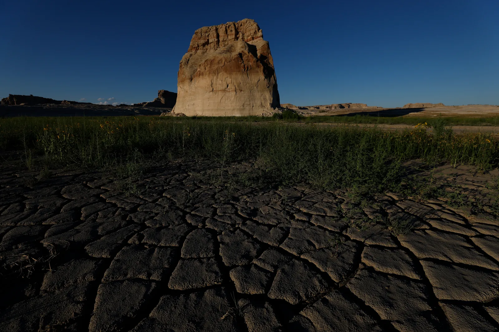
How Much Water Will Each State Lose?
If the three Lower Basin states implement the water-sharing agreement they proposed earlier this year, Arizona will take the largest reduction at 760,000 acre-feet a year, as reported by ABC News.
That is about 27.1 percent of Arizona’s basic 2.8 million acre-foot Colorado River apportionment.
California will lose 440,000 acre-feet a year, equivalent to 10 percent of its 4.4 million acre-foot apportionment.
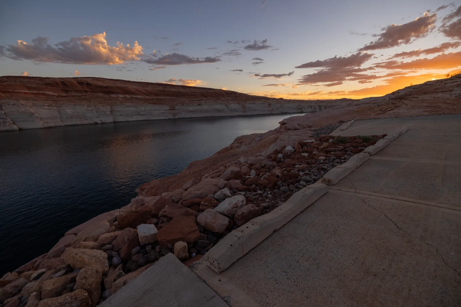
Nevada will lose 50,000 acre-feet a year, or about 16.7 percent of its 300,000 acre-foot apportionment, as per the outlet.
Together, the three states will reduce deliveries by 1.25 million acre-feet each year for the next two years, beginning in 2027. The Interior Department is also calling for at least another 700,000 acre-feet of voluntary conservation and storage across the Lower Basin over the two-year period.
What About The Other Four States?
Colorado, New Mexico, Utah and Wyoming make up the Upper Basin and will not face mandatory water cuts under the 2027-2028 guidelines.
Instead, the Interior Department is asking those states to enter into an agreement to use water stored in federal reservoirs to help protect Glen Canyon Dam and Lake Powell.
The four states are being asked to work with the Lower Basin states and tribal governments on how water can be managed from the Aspinall, Flaming Gorge and Navajo reservoir systems.
The approach differs from the Lower Basin, where Arizona, California and Nevada had already submitted their own proposal for sharing the reductions.
"We are grateful for the Seven Basin States, the thirty Basin Tribes, Mexico, and many other basin stakeholders who have provided the feedback and voluntary arrangements necessary for the development of the 2027-2028 Operating Guidelines," said Secretary of the Interior Doug Burgum, in a statement.
“Forty million people, millions of acres of farmland and ranchland, industries that power the American West, and some of our nation’s fastest growing metropolitan areas depend on the Colorado River," he added.
Why Lake Powell Is So Important
Lake Powell, on the Colorado River near the Arizona-Utah border, has fallen to critically low levels alongside Lake Mead.
The Interior Department said Lake Powell will begin the 2027 water year between elevations of 3,540 and 3,510 feet. Officials plan to limit releases from the reservoir to between 6 million and 7 million acre-feet initially, with the aim of keeping its elevation at or above 3,510 feet.
That matters because Glen Canyon Dam, which forms Lake Powell, is a major source of hydroelectric power for six Western states.
The new operating rules are intended to protect the dam and preserve its ability to generate electricity while also maintaining water deliveries downstream.
Lake Mead Also At Record Low Levels
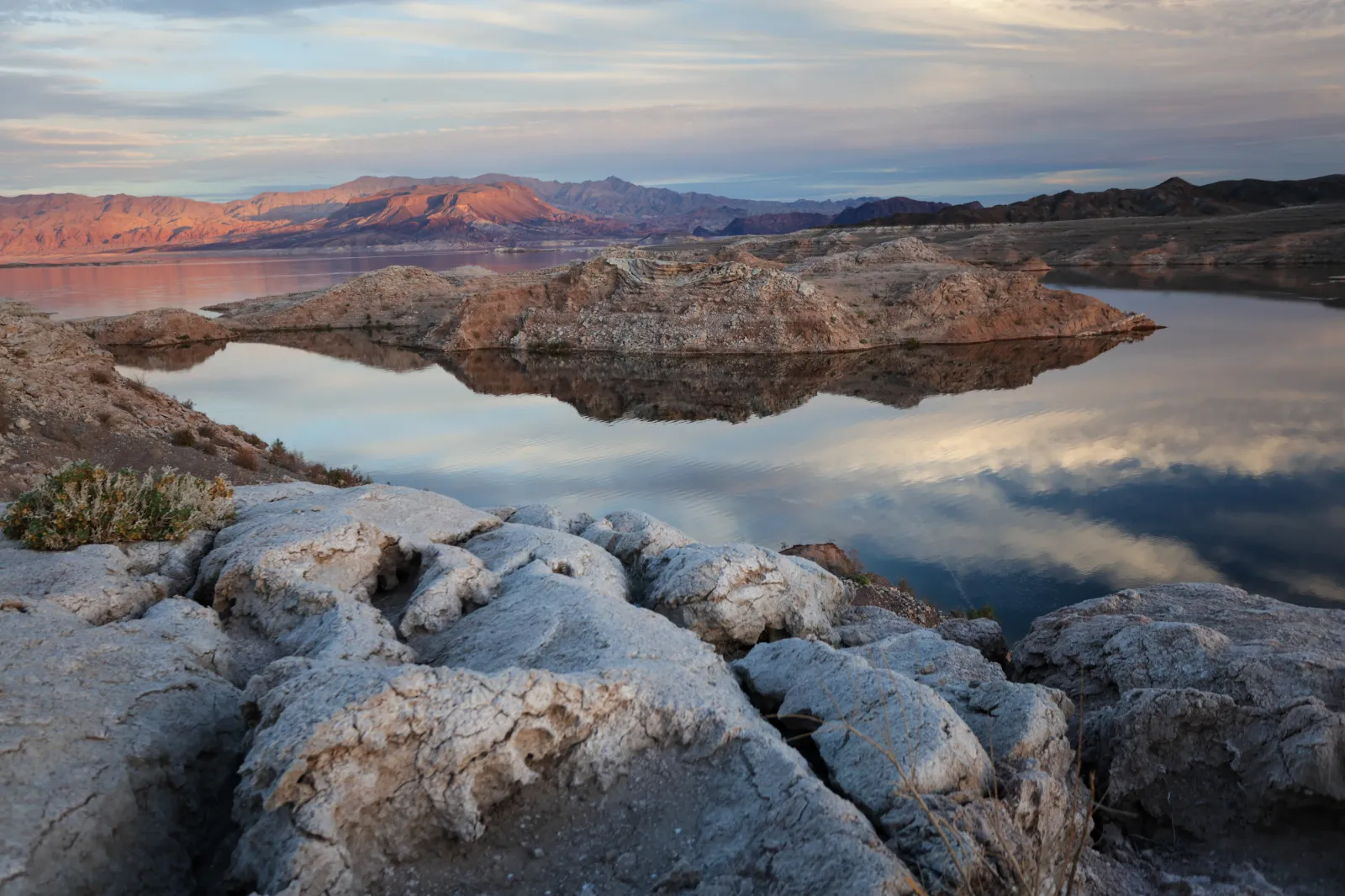
Lake Mead, the largest reservoir in the U.S. by capacity, is also at historically low levels after years of drought and heavy demand on the Colorado River.
The Interior Department said the combined contents of Lake Powell and Lake Mead have not been this low since before Lake Powell began filling after Glen Canyon Dam was completed in the 1960s.
The new guidelines reduce Lower Basin deliveries through Lake Mead by 1.25 million acre-feet in 2027, while giving federal officials tools to respond if reservoir levels fall further.
Could The Cuts Get Bigger?
Yes. The 1.25 million acre-feet annual reduction applies to the first two years of the new operating framework. The federal government has warned that additional reductions could be imposed over the following years if water conditions worsen.
The wider 10-year framework allows operating guidelines to be adjusted every two years, giving officials flexibility to respond to changing reservoir levels, drought and negotiations between the states.
The new plan follows the failure of the seven Colorado River Basin states to agree on a replacement for rules that expire at the end of 2026.
What Happens Next?
The new guidelines take effect for the 2027 and 2028 operating years, while negotiations over the river’s longer-term future continue.
The Interior Department said the framework prioritizes voluntary agreements and cooperation between the states, tribes and Mexico, while preserving federal authority to respond to worsening conditions.
For now, Arizona, California and Nevada face defined reductions, while Colorado, New Mexico, Utah and Wyoming are being asked to develop measures that could help protect Lake Powell and Glen Canyon Dam.
The stakes are high: the Colorado River supports tens of millions of people, millions of acres of farmland and major electricity infrastructure across the Southwest.
Contact Newsweek editor on this story: Edward Pearcey.